
Berthelot topographic map
Interactive map
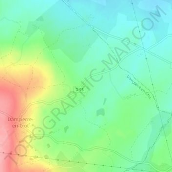
Click on the map to display elevation.
About this map
Name: Berthelot topographic map, elevation, terrain.
Average elevation: 222 m
Minimum elevation: 184 m
Maximum elevation: 296 m
Other topographic maps
Click on a map to view its topography, its elevation and its terrain.
Le Champ Au Senee
France > Centre-Val de Loire > Cher > Dampierre-en-Crot
Le Champ Au Senee, Dampierre-en-Crot, Bourges, Cher, Centre-Val de Loire, France métropolitaine, 18260, France
Average elevation: 238 m