
Sembungan Kidul topographic map
Interactive map
Click on the map to display elevation.
About this map
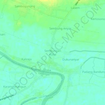
Name: Sembungan Kidul topographic map, elevation, terrain.
Location: Sembungan Kidul, Gresik, East Java, 61152, Indonesia (-7.02440 112.48882 -6.98440 112.52882)
Average elevation: 7 m
Minimum elevation: 0 m
Maximum elevation: 19 m