
Elk Creek topographic map
Interactive map
Click on the map to display elevation.
About this map
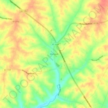
Name: Elk Creek topographic map, elevation, terrain.
Location: Elk Creek, Spencer County, Kentucky, 40071, United States (38.08034 -85.39107 38.12034 -85.35107)
Average elevation: 221 m
Minimum elevation: 189 m
Maximum elevation: 242 m