
Lyles topographic map
Click on the map to display elevation.
About this map
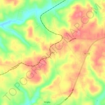
Name: Lyles topographic map, elevation, terrain.
Location: Lyles, Hickman County, Tennessee, 37098, United States (35.89979 -87.36501 35.93979 -87.32501)
Average elevation: 250 m
Minimum elevation: 202 m
Maximum elevation: 283 m