
Make a donation
Gear up for your next adventure:
As an Amazon Associate, this site earns from qualifying purchases at no extra cost to you.
Apache topographic map
Click on the map to display elevation.
Make a donation
Gear up for your next adventure:
As an Amazon Associate, this site earns from qualifying purchases at no extra cost to you.
Apache
Apache is a ghost town in Cochise County, Arizona, United States. It has an estimated elevation of 4,383 feet (1,336 m) above sea level.
Make a donation
Gear up for your next adventure:
As an Amazon Associate, this site earns from qualifying purchases at no extra cost to you.
About this map
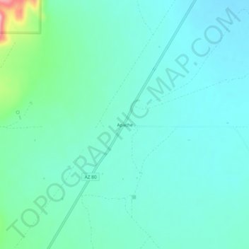
Name: Apache topographic map, elevation, terrain.
Location: Apache, Cochise County, Arizona, United States (31.67038 -109.15228 31.71038 -109.11228)
Average elevation: 1,340 m
Minimum elevation: 1,313 m
Maximum elevation: 1,461 m
Make a donation
Gear up for your next adventure:
As an Amazon Associate, this site earns from qualifying purchases at no extra cost to you.