
Thank you for supporting this site ❤️
Make a donation
Make a donation
Gear up for your next adventure:
As an Amazon Associate, this site earns from qualifying purchases at no extra cost to you.
Kanksa topographic map
Click on the map to display elevation.
Thank you for supporting this site ❤️
Make a donation
Make a donation
Gear up for your next adventure:
As an Amazon Associate, this site earns from qualifying purchases at no extra cost to you.
About this map
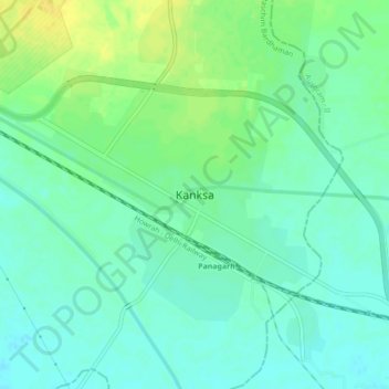
Name: Kanksa topographic map, elevation, terrain.
Location: Kanksa, Paschim Bardhaman, West Bengal, 713148, India (23.40942 87.41584 23.48942 87.49584)
Average elevation: 67 m
Minimum elevation: 52 m
Maximum elevation: 85 m
Thank you for supporting this site ❤️
Make a donation
Make a donation
Gear up for your next adventure:
As an Amazon Associate, this site earns from qualifying purchases at no extra cost to you.