
Thank you for supporting this site ❤️
Make a donation
Make a donation
Gear up for your next adventure:
As an Amazon Associate, this site earns from qualifying purchases at no extra cost to you.
Olo-olo topographic map
Click on the map to display elevation.
Thank you for supporting this site ❤️
Make a donation
Make a donation
Gear up for your next adventure:
As an Amazon Associate, this site earns from qualifying purchases at no extra cost to you.
About this map
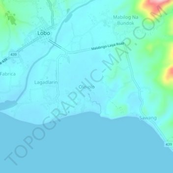
Name: Olo-olo topographic map, elevation, terrain.
Location: Olo-olo, Lobo, Batangas, Calabarzon, 4229, Philippines (13.61519 121.20051 13.65519 121.24051)
Average elevation: 20 m
Minimum elevation: 0 m
Maximum elevation: 211 m
Thank you for supporting this site ❤️
Make a donation
Make a donation
Gear up for your next adventure:
As an Amazon Associate, this site earns from qualifying purchases at no extra cost to you.