
Frohnleiten topographic map
Interactive map
Click on the map to display elevation.
About this map
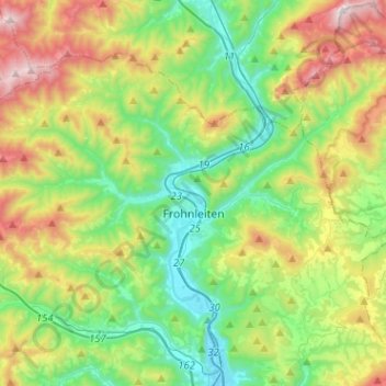
Name: Frohnleiten topographic map, elevation, terrain.
Location: Frohnleiten, Bezirk Graz-Umgebung, Styria, 8130, Austria (47.21764 15.15976 47.34361 15.41418)
Average elevation: 822 m
Minimum elevation: 397 m
Maximum elevation: 1,688 m