
Cape Vincent topographic map
Interactive map
Click on the map to display elevation.
About this map
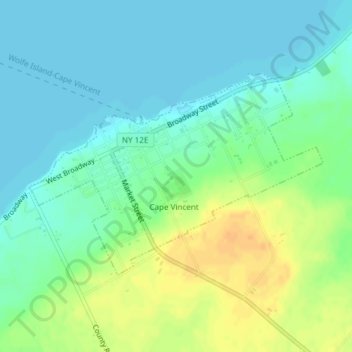
Name: Cape Vincent topographic map, elevation, terrain.
Location: Cape Vincent, Jefferson County, New York, United States (44.11769 -76.34628 44.13341 -76.31595)
Average elevation: 84 m
Minimum elevation: 73 m
Maximum elevation: 105 m