
Briheni topographic map
Interactive map
Click on the map to display elevation.
About this map
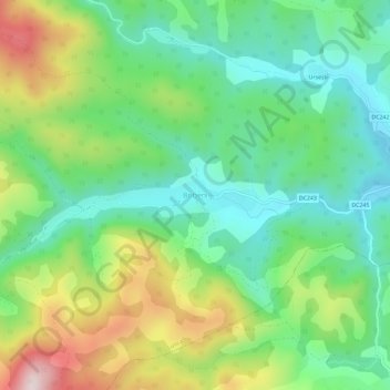
Name: Briheni topographic map, elevation, terrain.
Location: Briheni, Bihor, 417321, Roemenië (46.47969 22.38278 46.51969 22.42278)
Average elevation: 453 m
Minimum elevation: 288 m
Maximum elevation: 769 m