
Yafit topographic map
Interactive map
Click on the map to display elevation.
About this map
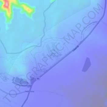
Name: Yafit topographic map, elevation, terrain.
Average elevation: -205 m
Minimum elevation: -329 m
Maximum elevation: 140 m
Other topographic maps
Click on a map to view its topography, its elevation and its terrain.
Rotem
Palestinian Territory > Judea and Samaria > Area C > Arvot Hayarden Regional Council
Rotem, Arvot Hayarden Regional Council, Area C, Judea and Samaria, Palestinian Territory
Average elevation: -120 m
Hamra
Palestinian Territory > Judea and Samaria > Area C > Arvot Hayarden Regional Council
Hamra, Arvot Hayarden Regional Council, Area C, Judea and Samaria, Palestinian Territory
Average elevation: -28 m