
La Pichetrie topographic map
Interactive map
Click on the map to display elevation.
About this map
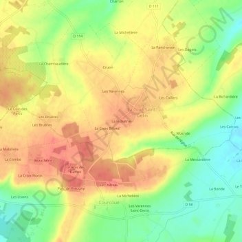
Name: La Pichetrie topographic map, elevation, terrain.
Average elevation: 96 m
Minimum elevation: 61 m
Maximum elevation: 124 m
Other topographic maps
Click on a map to view its topography, its elevation and its terrain.
La Croix Billard
France > Centre-Val de Loire > Indre-et-Loire > La Tour-Saint-Gelin
La Croix Billard, La Tour-Saint-Gelin, Chinon, Indre-et-Loire, Centre-Val de Loire, France métropolitaine, 37120, France
Average elevation: 97 m