
Old Quarrington topographic map
Interactive map
Click on the map to display elevation.
About this map
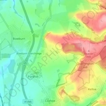
Name: Old Quarrington topographic map, elevation, terrain.
Average elevation: 117 m
Minimum elevation: 71 m
Maximum elevation: 191 m
Other topographic maps
Click on a map to view its topography, its elevation and its terrain.
Tursdale
United Kingdom > England > County Durham > Parkhill
Tursdale, Cassop-cum-Quarrington, Parkhill, County Durham, North East, England, DH6 5NS, United Kingdom
Average elevation: 100 m