
天府新区 topographic map
Interactive map
Click on the map to display elevation.
About this map
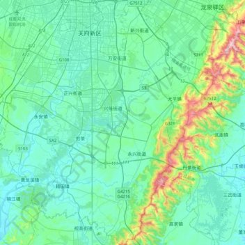
Name: 天府新区 topographic map, elevation, terrain.
Location: 天府新区, 双流区, 成都市, 四川省, 610213, 中国 (30.22822 103.98381 30.57116 104.26720)
Average elevation: 523 m
Minimum elevation: 427 m
Maximum elevation: 1,024 m
Other topographic maps
Click on a map to view its topography, its elevation and its terrain.