
Köpmanholmen topographic map
Interactive map
Click on the map to display elevation.
About this map
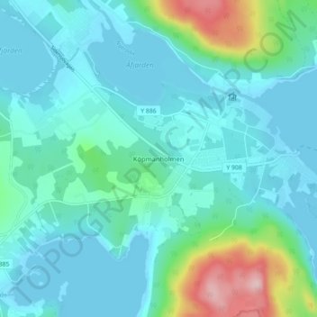
Name: Köpmanholmen topographic map, elevation, terrain.
Average elevation: 36 m
Minimum elevation: -1 m
Maximum elevation: 205 m
Other topographic maps
Click on a map to view its topography, its elevation and its terrain.
Bjästa
Sweden > Västernorrland County > Nätra District
Bjästa, Nätra District, Örnsköldsviks kommun, Västernorrland County, 893 30, Sweden
Average elevation: 53 m