
Ha Long topographic map
Interactive map
Click on the map to display elevation.
About this map
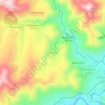
Name: Ha Long topographic map, elevation, terrain.
Location: Ha Long, Thaba-Tseka District, Lesotho (-29.52453 28.25116 -29.48453 28.29116)
Average elevation: 2,412 m
Minimum elevation: 2,148 m
Maximum elevation: 2,705 m