
Rucăr topographic map
Interactive map
Click on the map to display elevation.
About this map
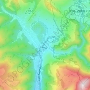
Name: Rucăr topographic map, elevation, terrain.
Location: Rucăr, Argeș, 117630, Romania (45.36618 25.13822 45.41329 25.18778)
Average elevation: 884 m
Minimum elevation: 661 m
Maximum elevation: 1,401 m