
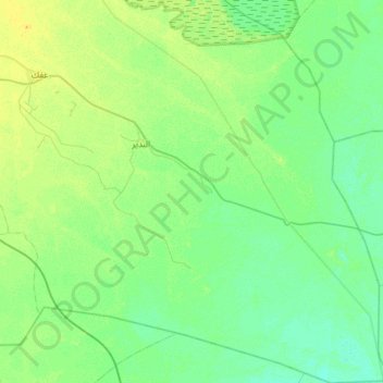
Al-Badir Subdistrict topographic map
Interactive map
Click on the map to display elevation.
About this map
Name: Al-Badir Subdistrict topographic map, elevation, terrain.
Average elevation: 15 m
Minimum elevation: 9 m
Maximum elevation: 29 m
Other topographic maps
Click on a map to view its topography, its elevation and its terrain.
Marad
Iraq > Al-Qadisiyah Governorate > Khan Jadwal > Al Khazail
Marad, 8, Al Khazail, Khan Jadwal, Al-Saniyah Subdistrict, Al-Diwaniyah District, Al-Qadisiyah Governorate, Iraq
Average elevation: 24 m
Falh al Atshan
Iraq > Al-Qadisiyah Governorate > Falh al Atshan
Falh al Atshan, Al-Badir Subdistrict, Afak District, Al-Qadisiyah Governorate, Iraq
Average elevation: 16 m
Afak
Iraq > Al-Qadisiyah Governorate > Afak
Afak, Al-Afak Central Subdistrict, Afak District, Al-Qadisiyah Governorate, Iraq
Average elevation: 20 m
Nahr al Khardah
Iraq > Al-Qadisiyah Governorate > Qaryat Al Fadl Allah
Nahr al Khardah, Qaryat Al Fadl Allah, Sumer Subdistrict, Afak District, Al-Qadisiyah Governorate, Iraq
Average elevation: 23 m