Geolocate

Savli topographic map

Click on the map to display elevation.

About this map

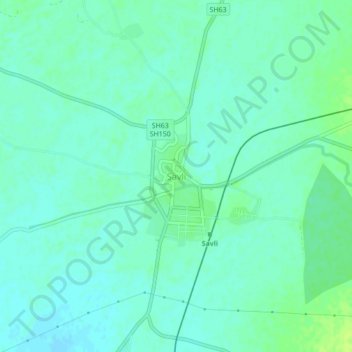
Name: Savli topographic map, elevation, terrain.

Location: Savli, Savli Taluka, Vadodara District, Gujarat, 388240, India (22.54251 73.20310 22.58251 73.24310)

Average elevation: 51 m

Minimum elevation: 46 m

Maximum elevation: 59 m

Gear up for your next adventure:

🔦Waterproof LED Headlamps - Hands-free lighting for evening treks and emergency navigation
🧼Camping Hygiene Kits - Compact hygiene essentials for outdoor stays
🧥Packable Down Jackets - Lightweight warmth that compresses small in your bag
🧣Neck Gaiters - Protects against wind and sun on exposed ridges and peaks
🌦️Portable Weather Meters - Handheld tools for monitoring weather conditions

As an Amazon Associate, this site earns from qualifying purchases at no extra cost to you.