
Freyung topographic map
Interactive map
Click on the map to display elevation.
About this map
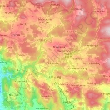
Name: Freyung topographic map, elevation, terrain.
Location: Freyung, Landkreis Freyung-Grafenau, Bavaria, 94078, Germany (48.77852 13.47725 48.88297 13.61228)
Average elevation: 695 m
Minimum elevation: 390 m
Maximum elevation: 923 m