
Bird topographic map
Interactive map
Click on the map to display elevation.
About this map
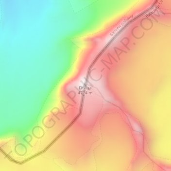
Name: Bird topographic map, elevation, terrain.
Location: Bird, Kuhistoni Mastchoh District, Sughd Region, Tajikistan (39.53867 70.31440 39.53877 70.31450)
Average elevation: 4,158 m
Minimum elevation: 3,569 m
Maximum elevation: 4,710 m