
Melut topographic map
Interactive map
Click on the map to display elevation.
About this map
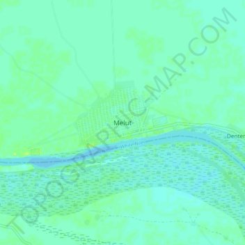
Name: Melut topographic map, elevation, terrain.
Location: Melut, Upper Nile, South Sudan (10.40197 32.16247 10.48197 32.24247)
Average elevation: 389 m
Minimum elevation: 385 m
Maximum elevation: 397 m