
Kuha topographic map
Interactive map
Click on the map to display elevation.
About this map
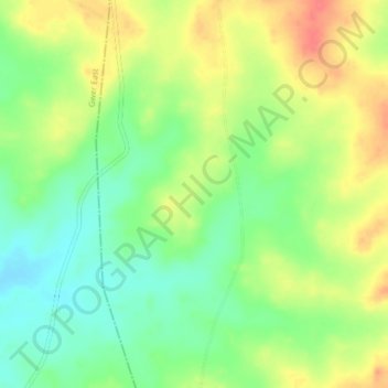
Name: Kuha topographic map, elevation, terrain.
Location: Kuha, Tarka, Benue, Nigeria (7.65080 8.73350 7.69080 8.77350)
Average elevation: 118 m
Minimum elevation: 89 m
Maximum elevation: 151 m