Geolocate

West Haddon topographic map

Click on the map to display elevation.

About this map

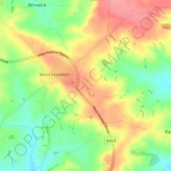
Name: West Haddon topographic map, elevation, terrain.

Location: West Haddon, West Northamptonshire, England, United Kingdom (52.31763 -1.09633 52.35930 -1.03349)

Average elevation: 157 m

Minimum elevation: 118 m

Maximum elevation: 200 m

West Northamptonshire trails, hiking, mountain biking, running and outdoor activities

Gear up for your next adventure:

📻Hand-Crank Emergency Radios - Stay updated on weather warnings in remote areas
🧰Survival Kits - Emergency tools for remote environments
🔦Outdoor Torches - Reliable torches for night navigation
🛌Sleeping Mats - Insulated mats for comfortable outdoor sleeping
🦟Anti-Midge & Tick Repellent - Vital for hiking in the Scottish Highlands during summer

As an Amazon Associate, this site earns from qualifying purchases at no extra cost to you.