
Rodenbourg topographic map
Interactive map
Click on the map to display elevation.
About this map
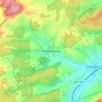
Name: Rodenbourg topographic map, elevation, terrain.
Location: Rodenbourg, Junglinster, Canton Grevenmacher, 6956, Luxembourg (49.66688 6.27041 49.70688 6.31041)
Average elevation: 285 m
Minimum elevation: 231 m
Maximum elevation: 370 m