Geolocate

Little Snoring topographic map

Click on the map to display elevation.

About this map

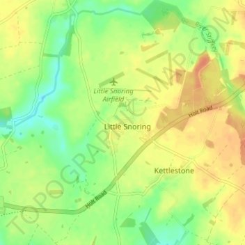
Name: Little Snoring topographic map, elevation, terrain.

Location: Little Snoring, North Norfolk, Norfolk, England, United Kingdom (52.83506 0.88097 52.87231 0.93102)

Average elevation: 53 m

Minimum elevation: 34 m

Maximum elevation: 69 m

Norfolk trails, hiking, mountain biking, running and outdoor activities

Gear up for your next adventure:

🧥Waterproof Hiking Jackets - Rain protection for walking in all weather conditions
🕶️Glacier Goggles - Maximum protection for high-altitude snow topography
🧦Merino Wool Hiking Socks - Moisture-wicking socks to prevent blisters during long mountain walks
📢Survival Whistles - Essential safety gear for signaling for help in mountain fog
🛌Sleeping Bags - Warm and packable sleeping bags for outdoor nights

As an Amazon Associate, this site earns from qualifying purchases at no extra cost to you.