
Dame Jouanne topographic map
Interactive map
Click on the map to display elevation.
About this map
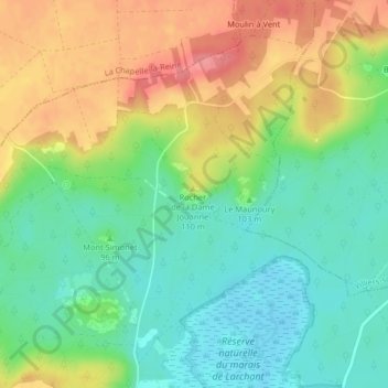
Name: Dame Jouanne topographic map, elevation, terrain.
Average elevation: 93 m
Minimum elevation: 58 m
Maximum elevation: 142 m
Other topographic maps
Click on a map to view its topography, its elevation and its terrain.
Larchant
France > Seine-et-Marne > Larchant > Larchant
Larchant, Fontainebleau, Seine-et-Marne, France métropolitaine, 77760, France
Average elevation: 95 m