
Tebourba topographic map
Interactive map
Click on the map to display elevation.
About this map
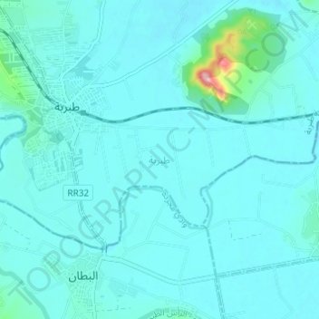
Name: Tebourba topographic map, elevation, terrain.
Location: Tebourba, معتمدية طبربة, Manouba, Tunisia (36.80832 9.83643 36.83587 9.89743)
Average elevation: 33 m
Minimum elevation: 18 m
Maximum elevation: 174 m
Other topographic maps
Click on a map to view its topography, its elevation and its terrain.