
Sigando topographic map
Interactive map
Click on the map to display elevation.
About this map
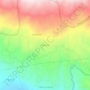
Name: Sigando topographic map, elevation, terrain.
Location: Sigando, West Sumatra, Indonesia (-0.46814 100.44058 -0.42814 100.48058)
Average elevation: 1,020 m
Minimum elevation: 707 m
Maximum elevation: 1,379 m