
Bojišta topographic map
Interactive map
Click on the map to display elevation.
About this map
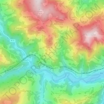
Name: Bojišta topographic map, elevation, terrain.
Location: Bojišta, Bijelo Polje Municipality, Montenegro (42.97469 19.66987 43.01469 19.70987)
Average elevation: 851 m
Minimum elevation: 597 m
Maximum elevation: 1,185 m