
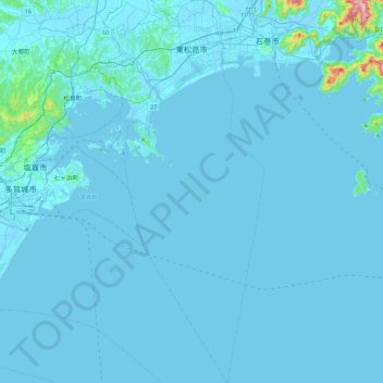
Higashimatsushima topographic map
Interactive map
Click on the map to display elevation.
About this map
Name: Higashimatsushima topographic map, elevation, terrain.
Location: Higashimatsushima, Prefectura de Miyagi, Japón (38.10868 141.09402 38.47239 141.29913)
Average elevation: 10 m
Minimum elevation: -3 m
Maximum elevation: 387 m