
Malecón Turístico del Municipio de Puerto Gaitá topographic map
Interactive map
Click on the map to display elevation.
About this map
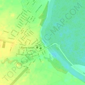
Name: Malecón Turístico del Municipio de Puerto Gaitá topographic map, elevation, terrain.
Average elevation: 152 m
Minimum elevation: 138 m
Maximum elevation: 164 m