Geolocate

Banat topographic map

Click on the map to display elevation.

About this map

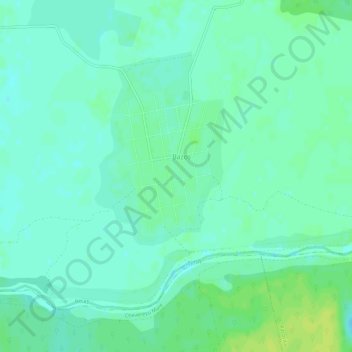
Name: Banat topographic map, elevation, terrain.

Location: Banat, Recaș, Timiș, 307424, Romania (44.75575 20.55219 46.75575 22.55219)

Average elevation: 296 m

Minimum elevation: 66 m

Maximum elevation: 2,428 m

Gear up for your next adventure:

🔋Solar Chargers - Eco-friendly charging solutions for outdoor use
🧥Waterproof Hiking Jackets - Rain protection for walking in all weather conditions
🧺Microfibre Travel Towels - Fast-drying and compact towels for wild swimming and camping
🗺️Ordnance Survey Maps - Essential paper maps for hiking across the UK national parks
📱Rugged Phone Cases - Heavy-duty protection for smartphones used as secondary GPS tools

As an Amazon Associate, this site earns from qualifying purchases at no extra cost to you.