
Sekyere East District topographic map
Interactive map
Click on the map to display elevation.
About this map
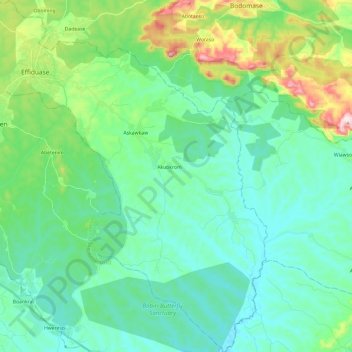
Name: Sekyere East District topographic map, elevation, terrain.
Location: Sekyere East District, Ashanti Region, AR0000, Ghana (6.66084 -1.44944 6.89883 -1.23673)
Average elevation: 275 m
Minimum elevation: 186 m
Maximum elevation: 593 m