
Bunambutye topographic map
Interactive map
Click on the map to display elevation.
About this map
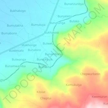
Name: Bunambutye topographic map, elevation, terrain.
Location: Bunambutye, Bugisa sub-region, Bulambuli, Eastern Region, Uganda (1.38000 34.33000 1.42000 34.37000)
Average elevation: 1,186 m
Minimum elevation: 1,071 m
Maximum elevation: 1,418 m