
Mang Thít District topographic map
Interactive map
Click on the map to display elevation.
About this map
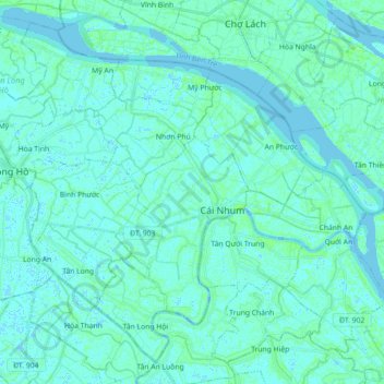
Name: Mang Thít District topographic map, elevation, terrain.
Location: Mang Thít District, Vĩnh Long Province, Vietnam (10.10521 105.99867 10.26112 106.17741)
Average elevation: 2 m
Minimum elevation: -3 m
Maximum elevation: 11 m
Other topographic maps
Click on a map to view its topography, its elevation and its terrain.