
Qingyuan District topographic map
Interactive map
Click on the map to display elevation.
About this map
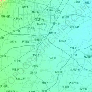
Name: Qingyuan District topographic map, elevation, terrain.
Location: Qingyuan District, Baoding City, Hebei, 071100, China (38.55008 115.22771 38.92528 115.75737)
Average elevation: 20 m
Minimum elevation: 6 m
Maximum elevation: 231 m
Other topographic maps
Click on a map to view its topography, its elevation and its terrain.