
Dudzele topographic map
Interactive map
Click on the map to display elevation.
About this map
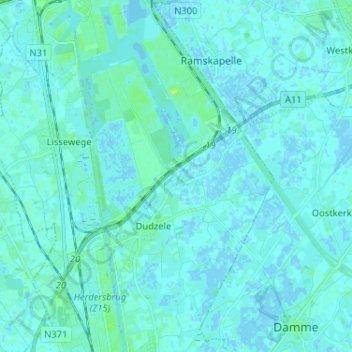
Name: Dudzele topographic map, elevation, terrain.
Location: Dudzele, Bruges, Brugge, West Flanders, Flanders, 8380, Belgium (51.24581 3.18893 51.32642 3.27337)
Average elevation: 2 m
Minimum elevation: -3 m
Maximum elevation: 11 m
Other topographic maps
Click on a map to view its topography, its elevation and its terrain.