
Sint Jansteen topographic map
Interactive map
Click on the map to display elevation.
About this map
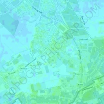
Name: Sint Jansteen topographic map, elevation, terrain.
Location: Sint Jansteen, Hulst, Zeeland, Nederland (51.24737 4.01636 51.27020 4.06380)
Average elevation: 2 m
Minimum elevation: -2 m
Maximum elevation: 7 m