
Pine Hill topographic map
Interactive map
Click on the map to display elevation.
About this map
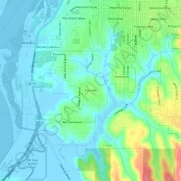
Name: Pine Hill topographic map, elevation, terrain.
Location: Pine Hill, Humboldt County, California, 95506, USA (40.74457 -124.19451 40.78457 -124.15451)
Average elevation: 23 m
Minimum elevation: -5 m
Maximum elevation: 100 m