
Suðuri á Bø topographic map
Interactive map
Click on the map to display elevation.
About this map
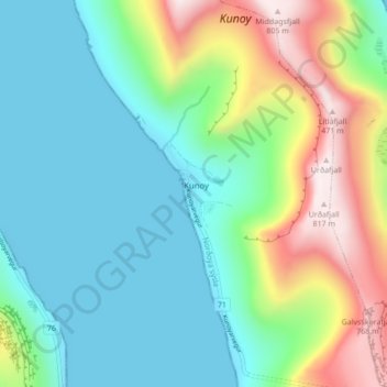
Name: Suðuri á Bø topographic map, elevation, terrain.
Location: Suðuri á Bø, Kunoy, Norðoyar region, 780, Faroe Islands (62.27090 -6.68944 62.31090 -6.64944)
Average elevation: 232 m
Minimum elevation: 0 m
Maximum elevation: 818 m