
Daillon topographic map
Interactive map
Click on the map to display elevation.
About this map
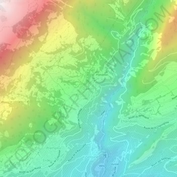
Name: Daillon topographic map, elevation, terrain.
Location: Daillon, Conthey, Valais, 1976, Suisse (46.23585 7.28531 46.27585 7.32531)
Average elevation: 1,076 m
Minimum elevation: 521 m
Maximum elevation: 2,153 m