
Fish Trap Lake topographic map
Interactive map
Click on the map to display elevation.
About this map
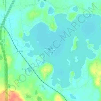
Name: Fish Trap Lake topographic map, elevation, terrain.
Location: Fish Trap Lake, Morrison County, Minnesota, United States (46.19879 -94.63953 46.22193 -94.59434)
Average elevation: 397 m
Minimum elevation: 384 m
Maximum elevation: 440 m
Other topographic maps
Click on a map to view its topography, its elevation and its terrain.