
Gunung Mulu National Park topographic map
Interactive map
Click on the map to display elevation.
About this map
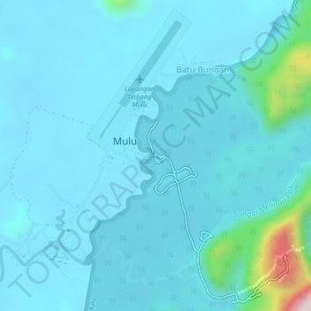
Name: Gunung Mulu National Park topographic map, elevation, terrain.
Location: Gunung Mulu National Park, Sarawak, Malaysia (4.02254 114.79252 4.06254 114.83252)
Average elevation: 65 m
Minimum elevation: 14 m
Maximum elevation: 565 m