
Borba topographic map
Interactive map
Click on the map to display elevation.
About this map
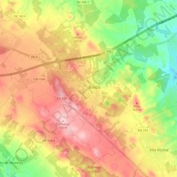
Name: Borba topographic map, elevation, terrain.
Location: Borba, Évora, Alentejo Central, Alentejo, 7150, Portugal (38.76511 -7.49755 38.84511 -7.41755)
Average elevation: 402 m
Minimum elevation: 285 m
Maximum elevation: 505 m