
Lac Boisvert topographic map
Interactive map
Click on the map to display elevation.
About this map
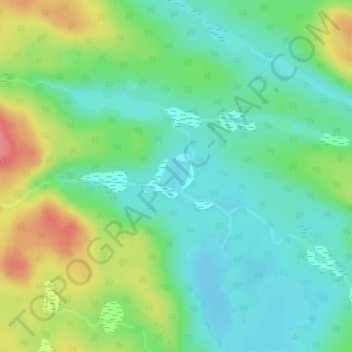
Name: Lac Boisvert topographic map, elevation, terrain.
Average elevation: 352 m
Minimum elevation: 324 m
Maximum elevation: 407 m
Other topographic maps
Click on a map to view its topography, its elevation and its terrain.
Lac Lafarelle
Canada > Québec > Pontiac (MRC) > Lac-Nilgaut
Lac Lafarelle, Lac-Nilgaut, Pontiac (MRC), Outaouais, Québec, Canada
Average elevation: 389 m
Lac Dablat
Canada > Québec > Pontiac (MRC) > Lac-Nilgaut
Lac Dablat, Lac-Nilgaut, Pontiac (MRC), Outaouais, Québec, Canada
Average elevation: 313 m