
San Augusto topographic map
Interactive map
Click on the map to display elevation.
About this map
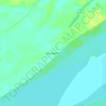
Name: San Augusto topographic map, elevation, terrain.
Location: San Augusto, Las Amazonas, Maynas, Loreto, Perú (-3.53241 -72.25141 -3.49241 -72.21141)
Average elevation: 76 m
Minimum elevation: 70 m
Maximum elevation: 91 m
Other topographic maps
Click on a map to view its topography, its elevation and its terrain.
Francisco de Orellana
Perú > Loreto > Las Amazonas
Francisco de Orellana, Las Amazonas, Maynas, Loreto, Perú
Average elevation: 81 m