
Egge-Nord (im Kreis Höxter) topographic map
Interactive map
Click on the map to display elevation.
About this map
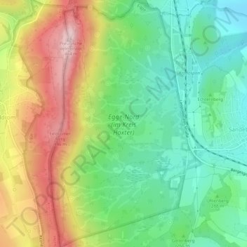
Name: Egge-Nord (im Kreis Höxter) topographic map, elevation, terrain.
Average elevation: 302 m
Minimum elevation: 194 m
Maximum elevation: 465 m