
Sigor topographic map
Interactive map
Click on the map to display elevation.
About this map
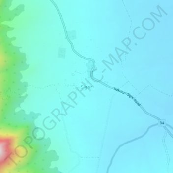
Name: Sigor topographic map, elevation, terrain.
Location: Sigor, West Pokot, Kenya (1.46248 35.45069 1.50248 35.49069)
Average elevation: 1,008 m
Minimum elevation: 930 m
Maximum elevation: 1,625 m