
Sant Antoni topographic map
Interactive map
Click on the map to display elevation.
About this map
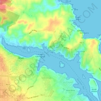
Name: Sant Antoni topographic map, elevation, terrain.
Location: Sant Antoni, Mahón, Menorca, Islas Baleares, 07701, España (39.87242 4.26143 39.91242 4.30143)
Average elevation: 27 m
Minimum elevation: -1 m
Maximum elevation: 81 m